Subic Bay digital atlas project
Subic Bay digital atlas project

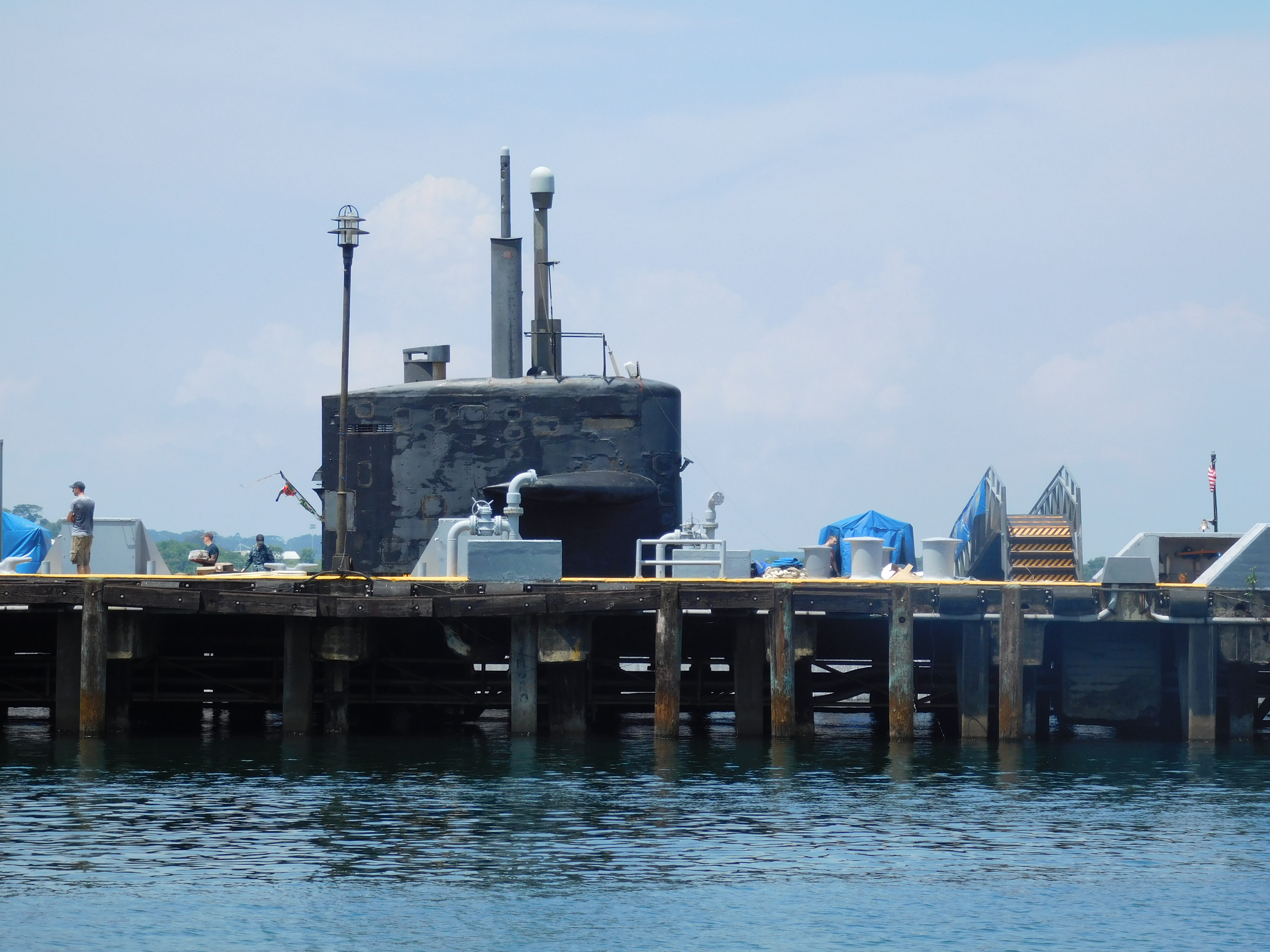
Focusing on Subic Bay/Olongapo, Philippines, around the site of a former US naval base that served as a key staging ground and ‘R&R’ setting for the US war in Vietnam (Second Indochina War), the project seeks to creatively develop digital media – and to utilize the lens of place – to offer a “local history of geopolitics” through Subic, a setting that is once again returning to global prominence on the edge of the contested South China Sea (or West Philippine Sea). The Subic Bay digital atlas is a collaboration with colleagues from the Geography Department of the University of the Philippines-Diliman. It will draw on historical and contemporary visual culture content in photography, cartography, film, and other media, to be developed as a set of free pedagogic resources within a broadly accessible digital humanities framework, and engage students in critical geographic concepts as well as in the dynamics of changing local and regional contexts. Development has been supported under a Carolina Asia Center Jimmy and Judy Cox Asia Initiative Award.
**
Recent Comments